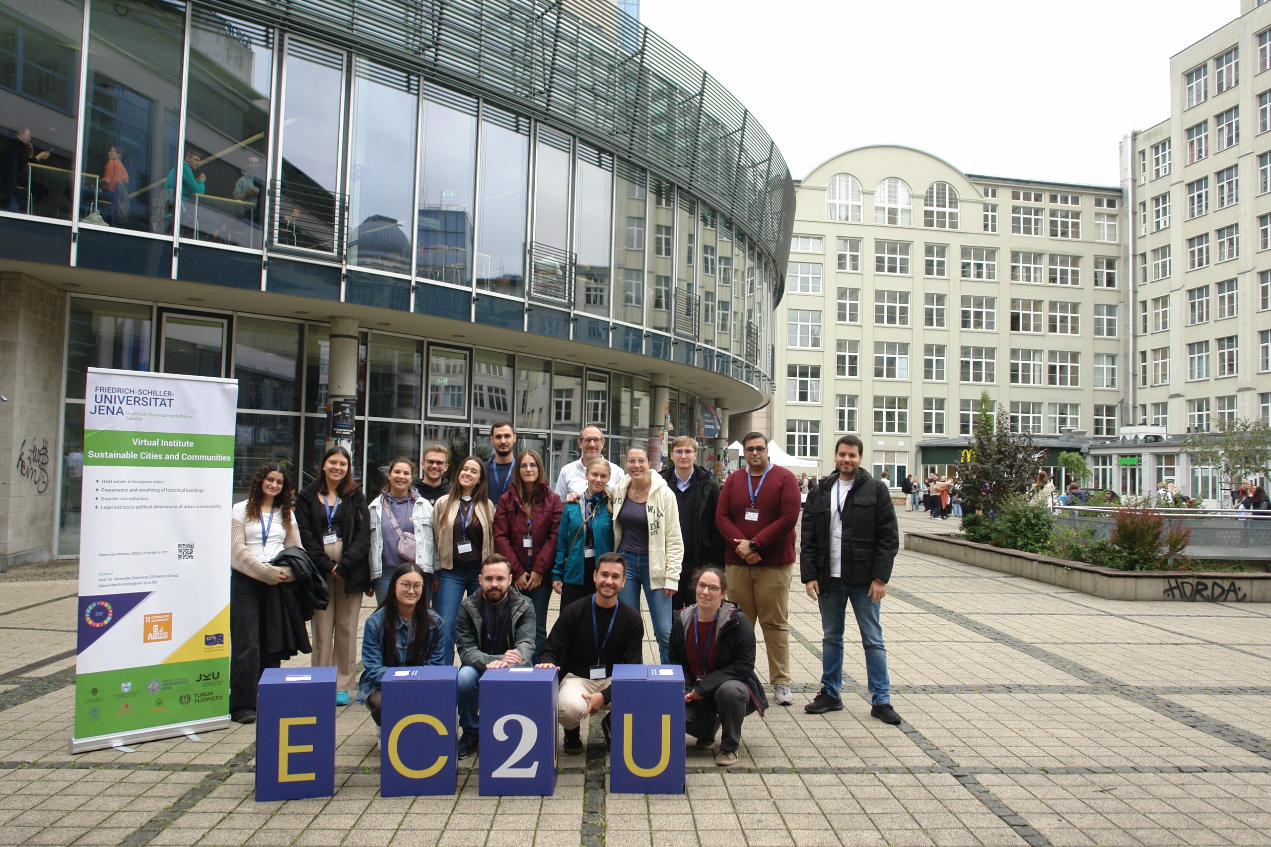
Hosted by the University of Jena, the initiative – in its second edition – involved 14 bachelor’s, master’s and doctoral students and three staff members from the EC2U Alliance universities.
The United Nations Sustainable Development Goal “Sustainable Cities and Communities” (SDG #11) was the central subject of this programme that targeted students and staff of geographic information science, geography, earth and environmental sciences, engineering and related disciplines.
Organised by Professor Alexander Brenning (Geographic Information Science Group – GIScience) and project manager Bettina Böhm, this EC2U autumn school was designed to provide methods that offer improved predictive capabilities for decision-making in environmental management for sustainability based on case studies such as natural hazards and environmental contamination.
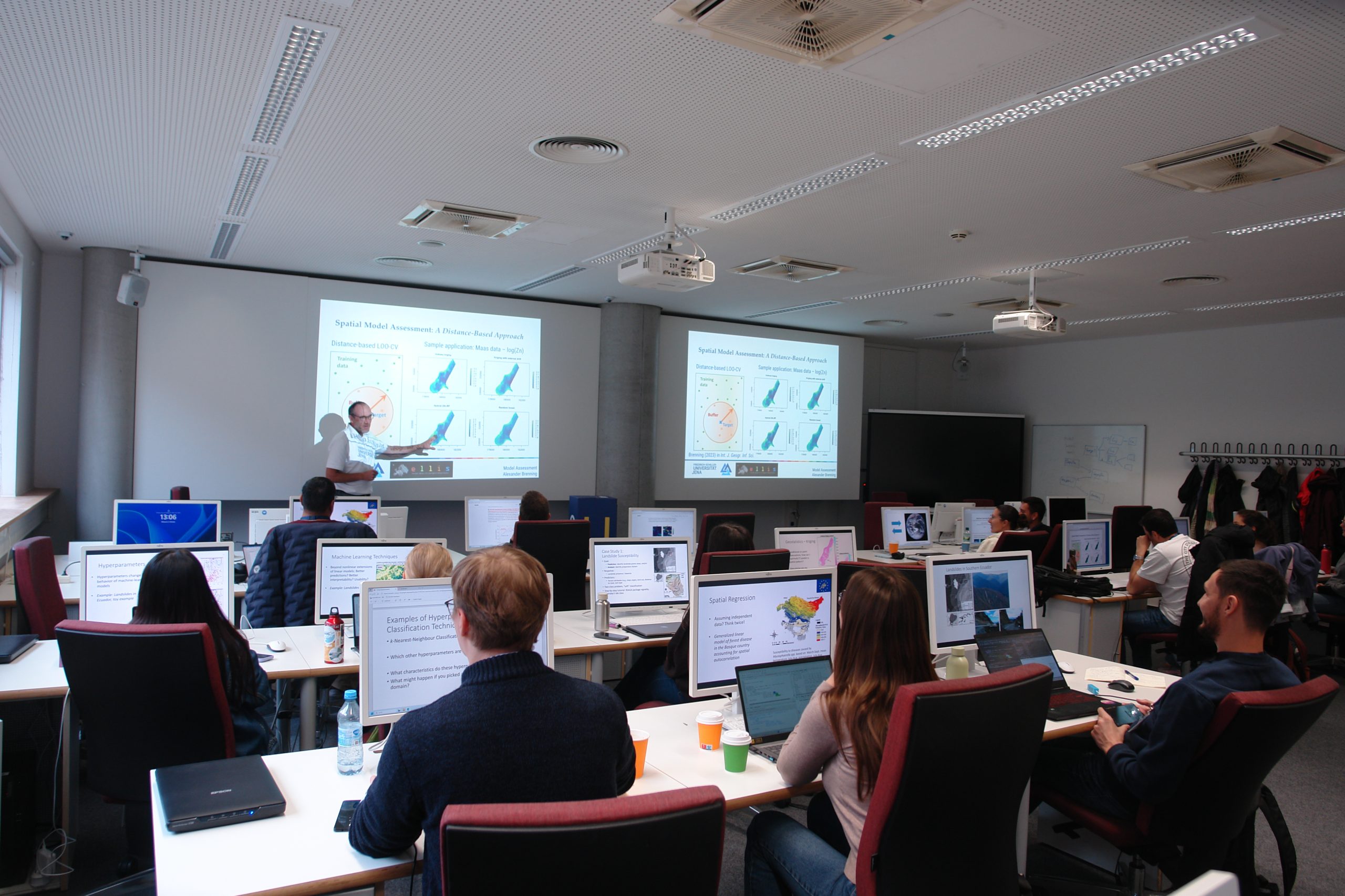
At the Multimedia Center of the University, participants learnt about challenges in the analysis of geospatial data related to integrating process knowledge, interpreting black-box models, and accounting for spatial autocorrelation. Since operating these models requires statistical computing skills, the course also introduced the programming language R with its geospatial capabilities and machine-learning extensions.
An optional field trip took place to the Dohlenstein mountain located 17 km south of Jena on the right bank of the Saale River. This mountain shows a bright white vertical rock face at the uppermost part and a huge landslide in the lower part. Participants were able to gain a realistic overview of one of the case studies introduced in the lectures.